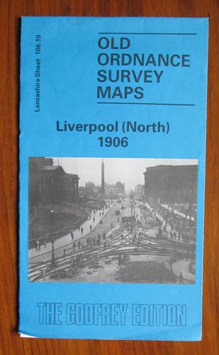
Old Ordnance Survey Maps: Liverpool (North) 1906 - Lancashire Sheet 106.10

Publication Date 1989
ISBN 0850542952
Publisher Alan Godfrey Maps
Condition Very good copy
SKU 24422
Notes Very clean and neat.

Description

Fold-out facsimile paper map. The scale of 1:4340 shows individual houses and businesses as well as clear views of railways and tramways. Introduction by Naomi Evetts on reverse. Street directory entries showing local businesses, also to reverse. Reverse also shows details of the docks. Useful for local and family historians.
Price: £2.00
You may also be interested in books cross-referenced in the following areas:
Other books in this category
By clicking "Accept All" you agree to the use of analytical cookies that we use on our website to measure usage. These cookies provide information that will help us to improve our site and enhance user experience. By clicking "Manage Preferences", you can manage your consent and find out more about the cookies we use.
Manage your privacy preferences

These are functional cookies needed to keep our website working properly and give you the best experience when visiting our website.

We collect information about how visitors use our website. The information is in aggregate form and counts visitor numbers and other information to help us improve our website.

These cookies ensure that, if applicable, any adverts are properly displayed and targeted based on your browsing. They may also be used to integrate social media on our site.

We may use assets from 3rd parties on our website, for example, Google fonts, which enhance your viewing and visual experience.

Read our privacy policy